This video shows the city of Merano's progress in surveying its historical tree heritage with a new technology, a laser scan which can be recorded more precisely for the first time as part of the Horizon2020 JUSTNature project.
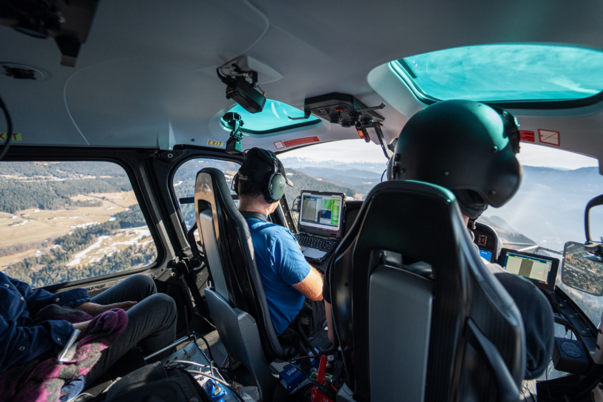
The vegetation of the entire municipal area will be detected by a helicopter flew over the city for two consecutive days at 350-400 meters above the ground. In the video, a short interview of Dr. Anni Schwarz (in German) explained about what LIDAR is.
Merano is one of the seven European pilot cities participating in the five-year JUSTNature project. In addition to the ecological redevelopment of public green spaces, another objective is conserving the precious tree heritage in the city's urban area.
With the help of the local company Alto Drones and scientific partners from all over Europe, the fairly new method of large-scale laser surveying and especially the complex evaluation of the immense amount of data will be further developed, and cloud as large as the municipal size will have to be filtered and sorted in many hours of computation. Merano occupies an exceptional position in Europe thanks to its enormous diversity of native and exotic tree species. The existing public tree register will help the algorithms to distinguish the most characteristic tree species.
📽️ Producer : City of Merano